 Please log in to see the coordinates.
 Cache attributes


 Description
EN
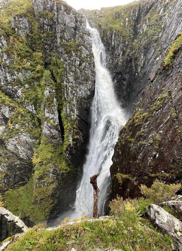
The Falls of Glomach have a single drop of 370 feet - there are higher waterfalls in the UK, but none with a longer single drop.

The recommended route starts from Morvich. There is a small car park at N57 14.084 W005 22.862 with a donation box, and opposite a Caravan and Motorhome Club camp site that accepts caravans, motorhomes and tents.
There is a path all the way from the parking to the cache. It is about 6 miles there and 6 miles back. The path climbs over Bealach na Sroine (the pass of the nose) and descends to the top of the falls. A slightly more difficult path then descends beside the falls to the cache, and then a further 70 or 80 feet to a small rocky outcrop from where the best view of the falls is obtained.
The path is mostly good, though the plateau as it crosses the pass can be a little soft. On the way there you will climb a total of about 1,750 feet and then descend 650 feet (and the reverse on the way back, of course). You should be fit and accustomed to walking in remote places, and I will assume you know what sort of equipment to wear and carry - if not then contact me I will be pleased to help. The route passes the Outdoor Centre at Affric, crosses the Abhainn Chonaig by a footbrdge at Gob na Roinne and climbs through Dorusduain Wood to Bealach na Sroine. There are numerous fords shown on the map but these are all easily crossed on the stones without getting wet feet. Using the above you should be able to follow the route using the Ordnance Survey map of the area, but I am happy to give more detail if required.
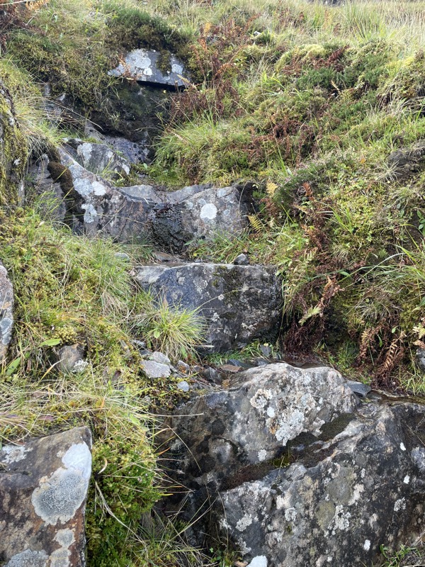
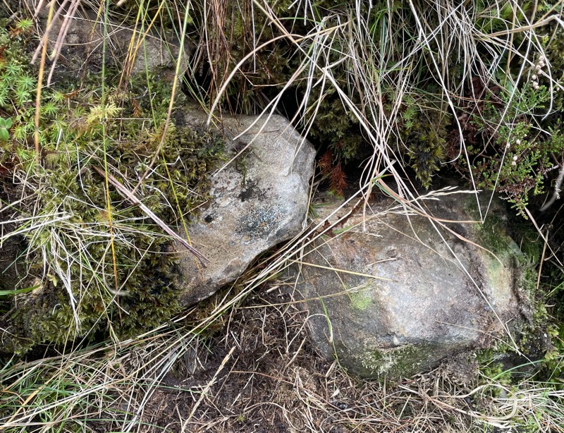
There are 2 spoiler photos. It is suggested that you print these before you go, as it is highly unlikely that you will have a phone network signal for most of the walk.
As you descend the path beside the falls, look behind you for the series of steps shown in the first spoiler. The cache is on the ledge a few feet above the top step. The second spoiler shows the moveable stone (the left one) behind which the cache is concealed.


 Log entries:
 0x
0x
 0x
0x
 0x
0x


 Rated as: n/a


