 Please log in to see the coordinates.
                                Please log in to see the coordinates.                            
         Altitude: 7 m. ASL.
                Altitude: 7 m. ASL.
             Region:
                
                  United Kingdom (UK) > Devon
 Region:
                
                  United Kingdom (UK) > Devon                
             Cache type: Traditional
                Cache type: Traditional
             Size: Small
                Size: Small
             Status:
                                  
                                      Ready for Search
                Status:
                                  
                                      Ready for Search                  
             Date hidden: 15-05-2020
                    Date hidden: 15-05-2020                             Date created: 19-06-2020
                Date created: 19-06-2020             Date published: 01-06-2021
                Date published: 01-06-2021             Last modification: 01-06-2021
                Last modification: 01-06-2021             14x Found
                        14x Found                     0x Not found
                        0x Not found                     0 notes
                    0 notes                 0 watchers
                    0 watchers                 18 visitors
                    18 visitors                 9 x rated
                    9 x rated                 Rated as: Excellent
                    Rated as: Excellent
                 1 x recommended
                            1 x recommended                        
                         Cache attributes
            Cache attributes


 Description


                            EN
        Description


                            EN
                        
            
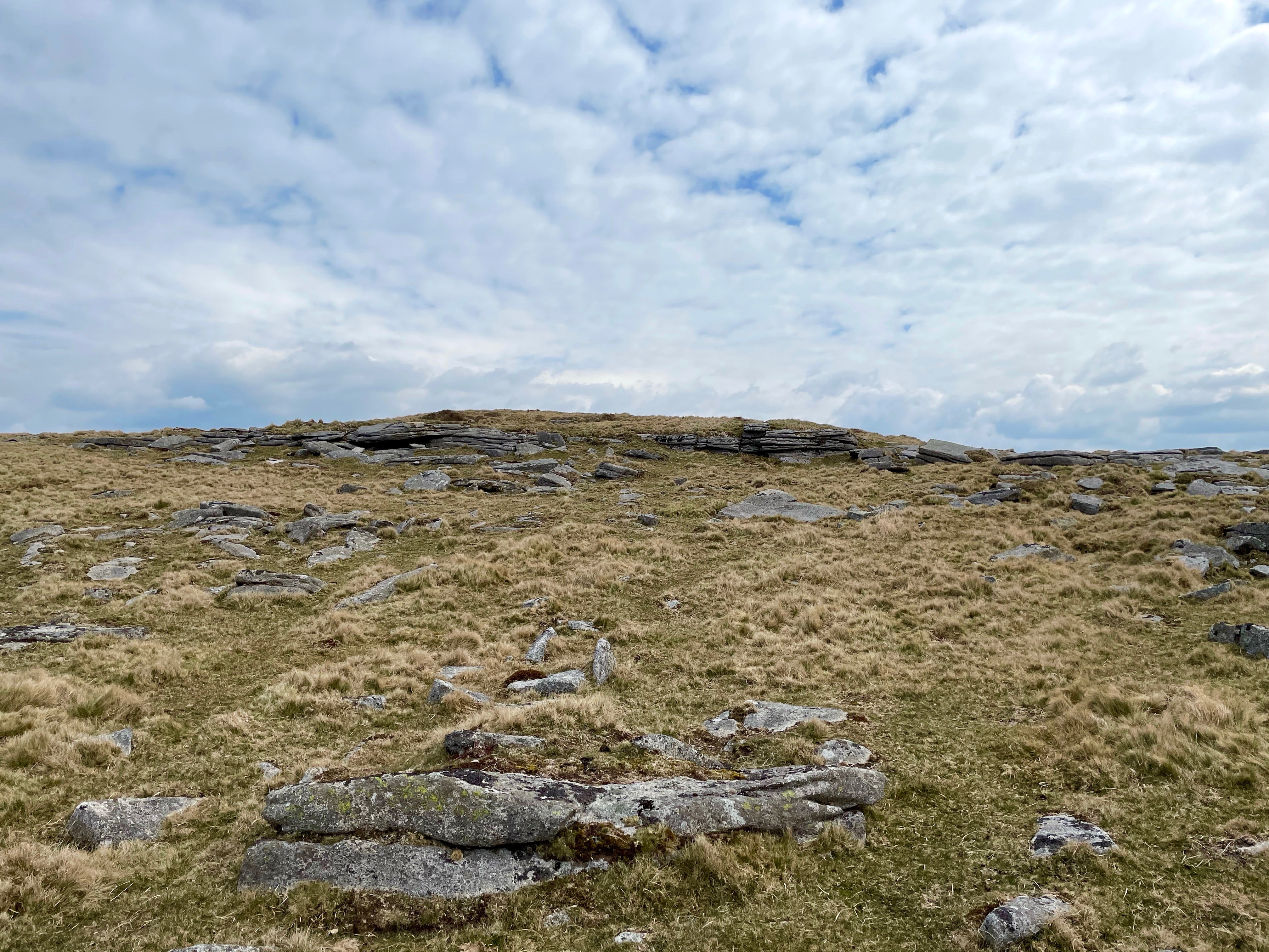
        As you come towards the end of the GeoPath you will visit 6 consecutive tors along a ridge between the East Okement River and the River Taw. This is the second of those 6 and the 10th tor of 14 you will visit. Some of these tors are named on the OS maps, others are not. All have easily followed paths or tracks between them. To reach Knattaborough Tor just follow the track from Oke Tor.

IMPORTANT NOTE: All of the caches in this Geopath are located in or near the Okehampton Military Range where live firing occurs. You must check out the Firing Notices before entering any of the ranges. DO NOT ENTER THE RANGE WHEN THE RED FLAGS ARE FLYING. Never pick up any objects, they may be unexploded devices.
The weather on Dartmoor can change suddenly and unexpectedly and ALL types of weather conditions can be experienced. Please ensure that you have the correct clothing and map & compass (and know how to use them). Please do NOT rely solely on your GPS.
I would like to thank the Dartmoor National Park Authority for their kind permission to place this cache, which has been placed according to the geocaching guidelines.
 Additional hints
            Additional hints
        
     Pictures
            Pictures
        
     Log entries:
        Log entries:
        
             14x
            14x
             0x
            0x
        
         0x
        0x