 Please log in to see the coordinates.
 10x Found
  0x Not found
  0 notes
  0 watchers
  Rated as: Excellent
 1 x recommended
 Cache attributes


 Description
EN
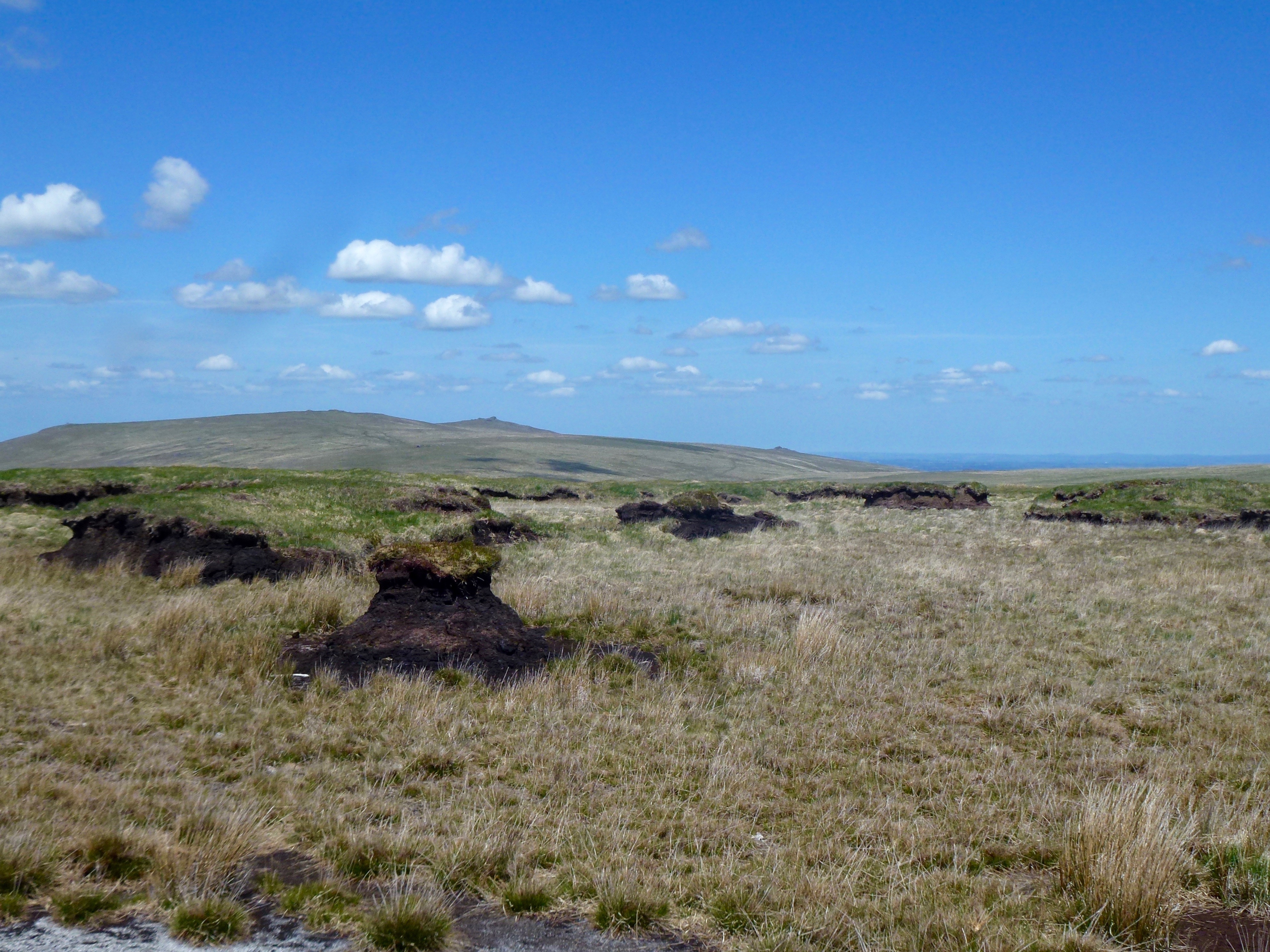
Having just visited the highest point in southern England the GeoPath now takes you to the most remote location anywhere in mainland England & Wales south of Northumberland (as measured by the distance from the nearest road). Black Ridge is also a relatively high point on Dartmoor but is dominated by the Black Ridge Peat Pass which runs from north to south.
This peat pass is one of 9 such peat passes, the cutting of which were organised by Frank Phillpotts at the turn of the 20th century. The main purpose was to allow easier and safer access to the hunt and for the movement of livestock by the moorland farmers. Most of the peat passes, including this one were originally marked with granite marker posts at each end containing a brass plaque.
Similar to the previous section of this geopath there is no obvious track which leads from Great Kneeset to Black Ridge but once again the terrain is not difficult and it is a case of following the arrow!

IMPORTANT NOTE: All of the caches in this Geopath are located in or near the Okehampton Military Range where live firing occurs. You must check out the Firing Notices before entering any of the ranges. DO NOT ENTER THE RANGE WHEN THE RED FLAGS ARE FLYING. Never pick up any objects, they may be unexploded devices.
The weather on Dartmoor can change suddenly and unexpectedly and ALL types of weather conditions can be experienced. Please ensure that you have the correct clothing and map & compass (and know how to use them). Please do NOT rely solely on your GPS.
I would like to thank the Dartmoor National Park Authority for their kind permission to place this cache, which has been placed according to the geocaching guidelines.
 Additional hints
 Log entries:
 10x
10x
 0x
0x
 0x
0x


